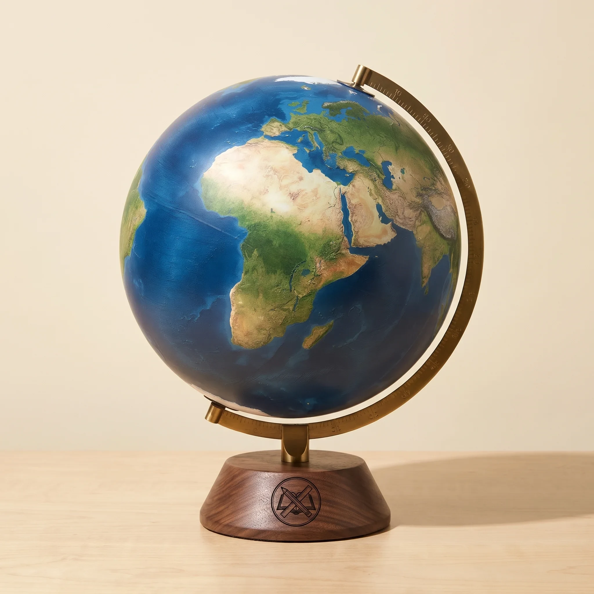
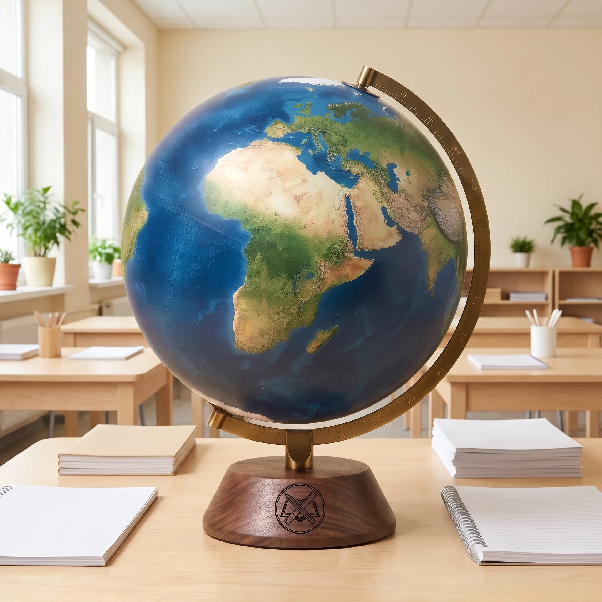
Flat maps distort size and distance; a globe doesn’t. This 12 inch globe combines physical shading for mountains and ocean depth with political borders and labels, so students can find a country and see its terrain in the same glance. It spins on a tilted axis inside a graduated brass-finish meridian, which makes it easy to talk about latitude, seasons and day length.
Specs
- 12 in diameter sphere with physical-political cartography
- More than 4,000 place names in English
- Brass-finish semi-meridian marked in degrees
- Axis tilted at 23.5 degrees
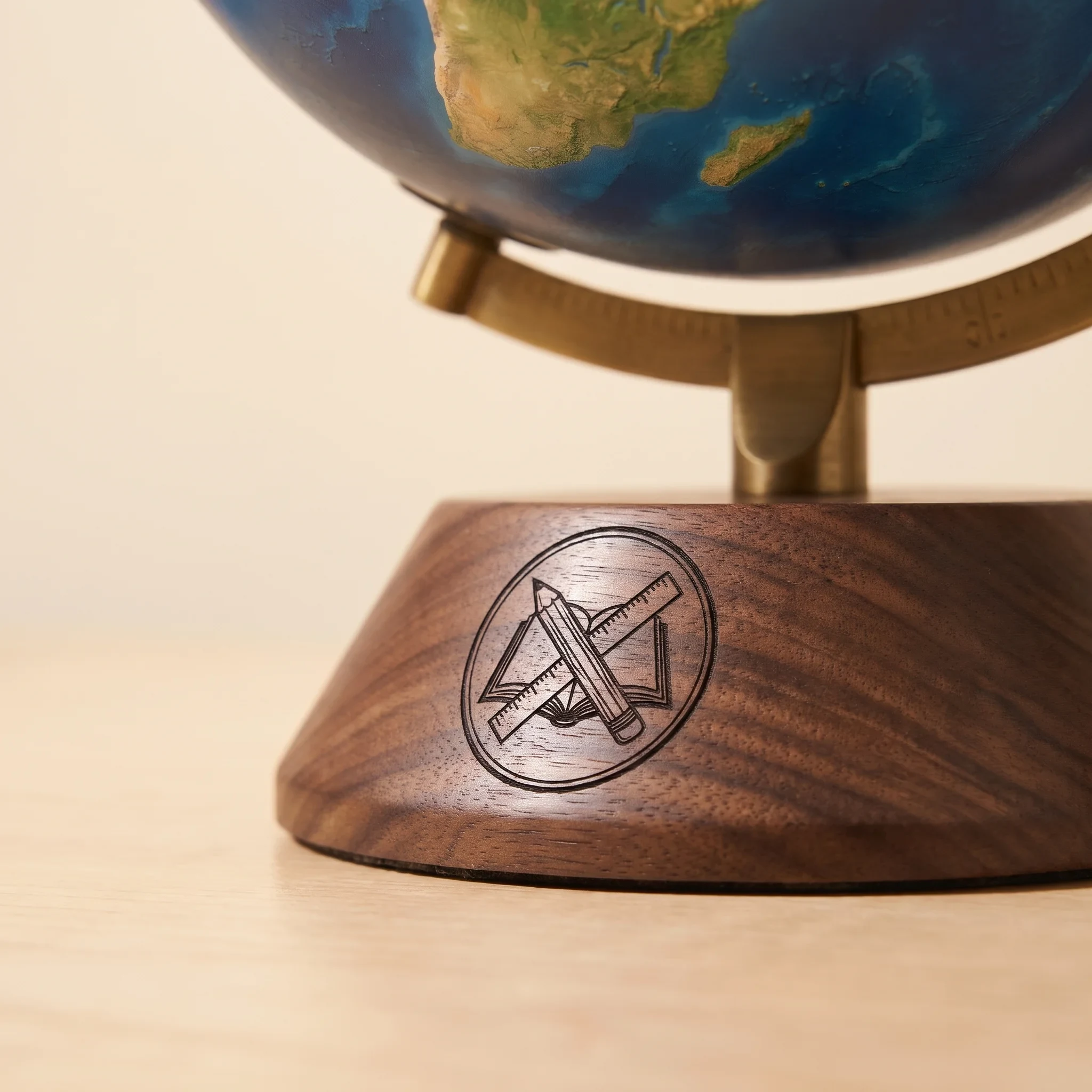
- Dark walnut-finish wooden base; overall height about 16 in
Grade level & classroom use: Social studies and earth science for grades 2–8, and a reference globe for libraries and high school geography rooms.
Care & warranty: Dust with a soft dry brush and keep the globe out of direct sun to prevent fading. Borders reflect the date of printing. A 1-year limited warranty covers the base, meridian and spin mechanism against defects.